


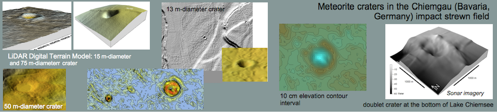


The Digital Terrain Model (DTM) and the evaluation of known and the search for new impact craters in the Chiemgau meteorite impact strewn field
Kord Ernstson* (2017)
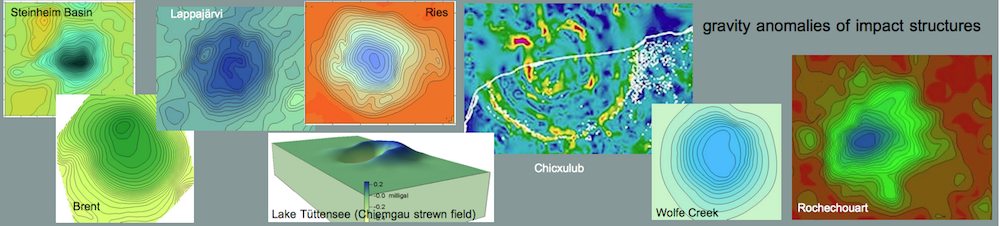
Abstract. – For several known and a few newly proposed meteorite craters in the Chiemgau meteorite impact strewn field the LiDAR data of the Digital Terrain Model DTM have been processed to reveal various maps and cross sections based on a high-resolution mesh down to 1 m and contour interval down to 0.2 m. The data processing highlights particular crater features that remain hidden in fieldwork and on conventional topographic maps and even may debunk mistaken structures.
**********************************************************
*Faculty of Philosophy I, University of Würzburg, Germany, kernstson@ernstson.de
Content
1 Introduction
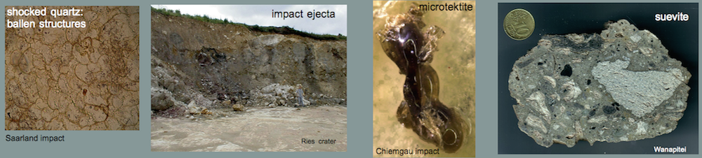
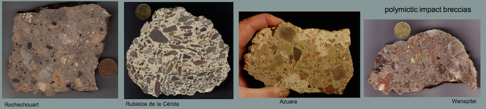
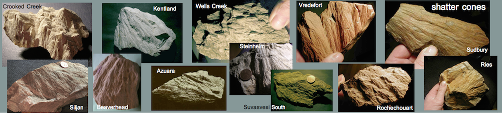
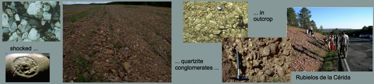
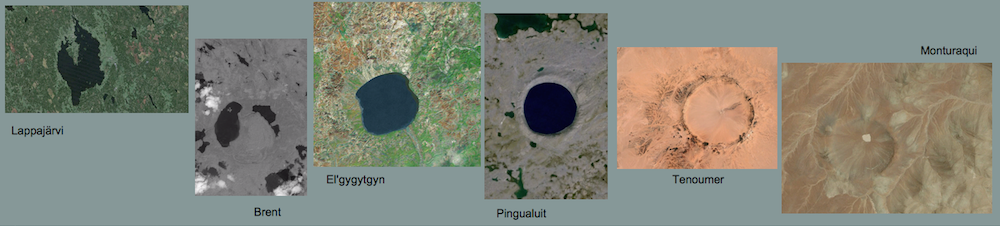
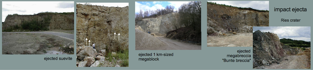
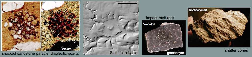
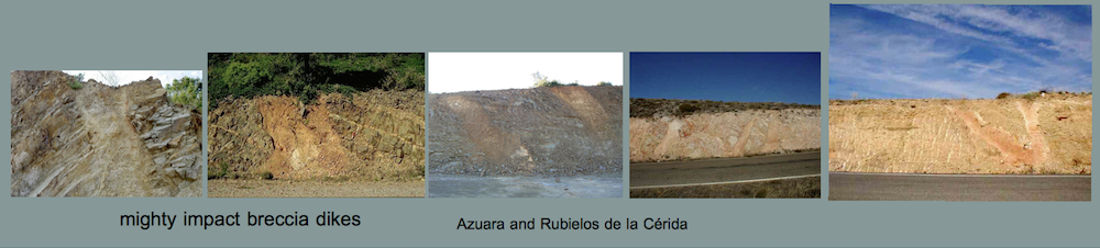
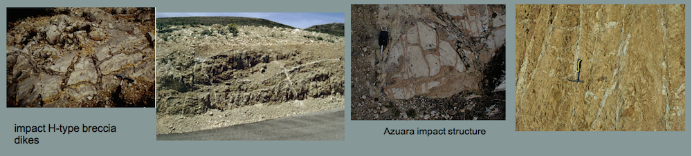
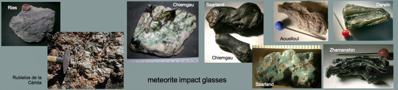
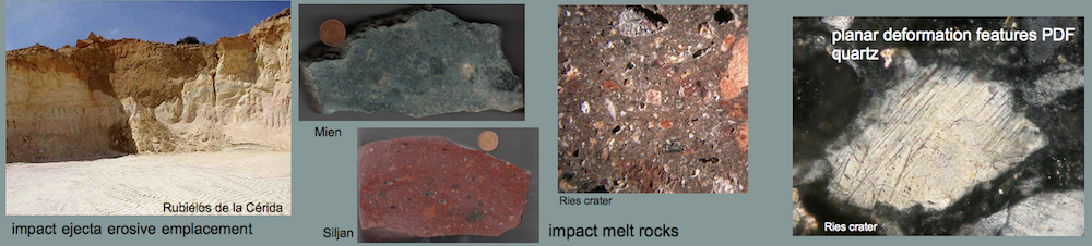
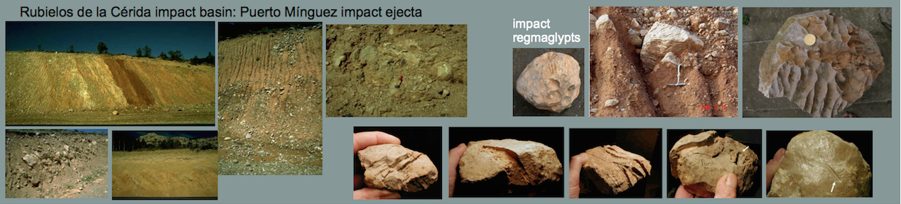
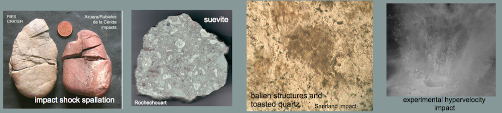
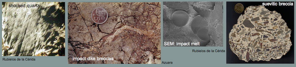
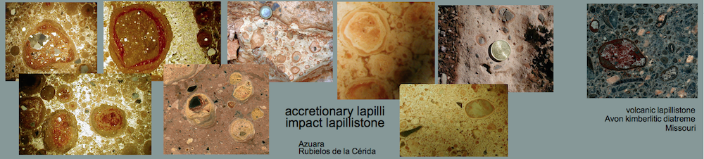
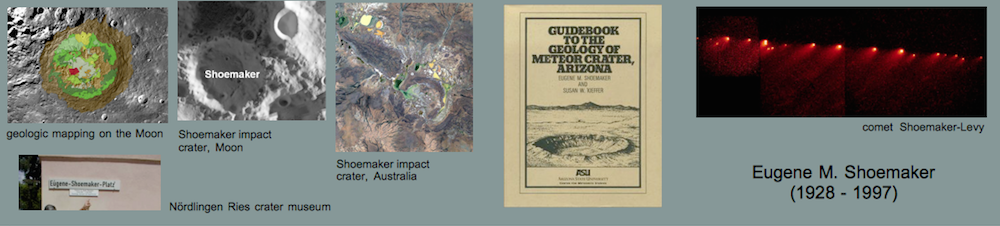
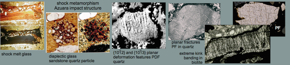
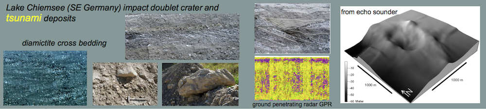
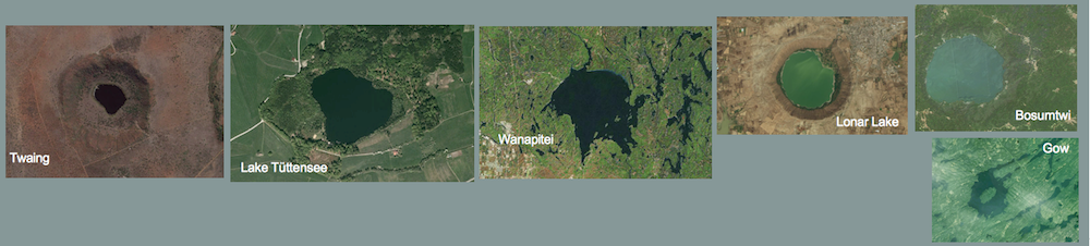
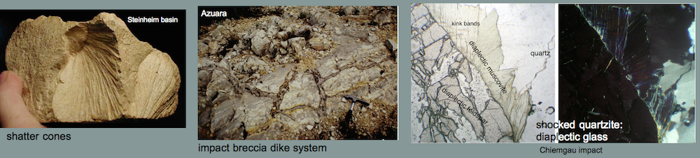
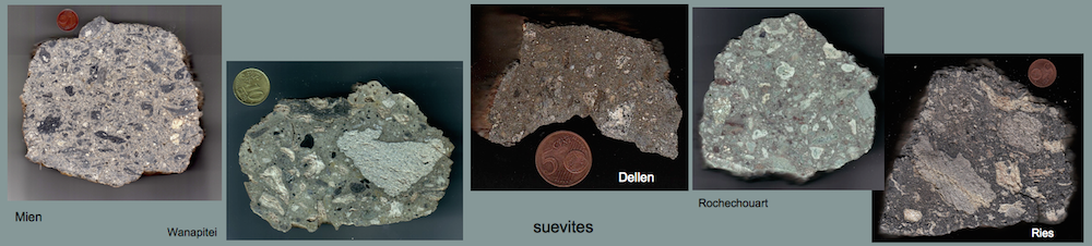
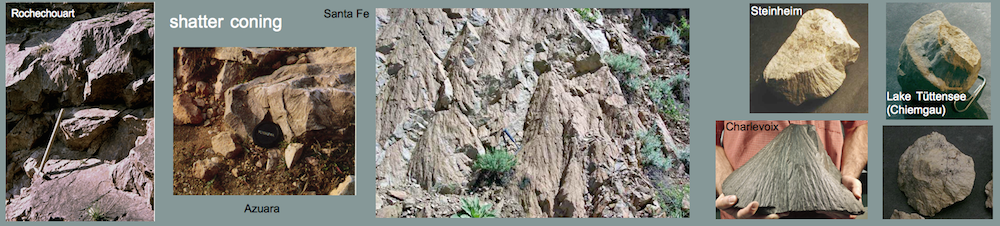
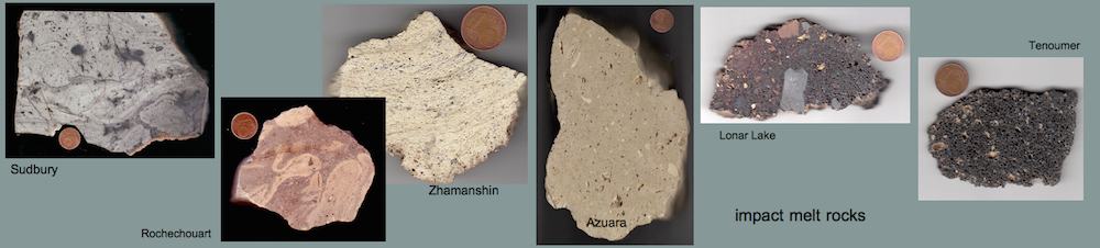
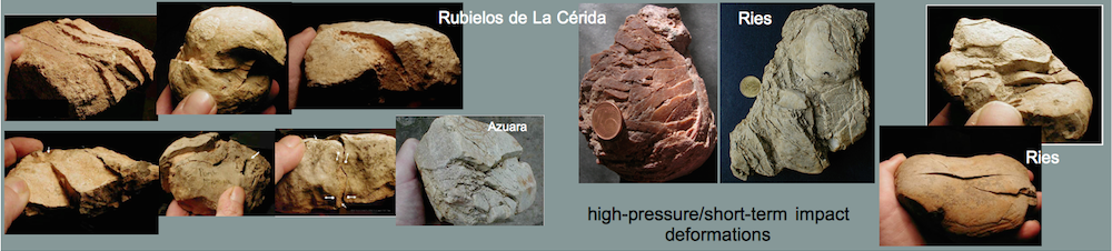
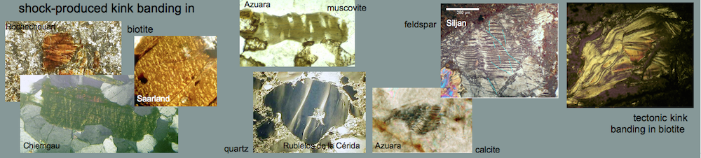
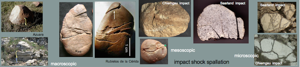
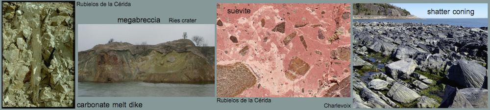
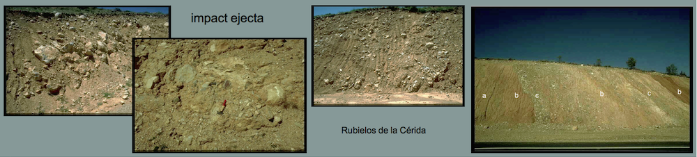
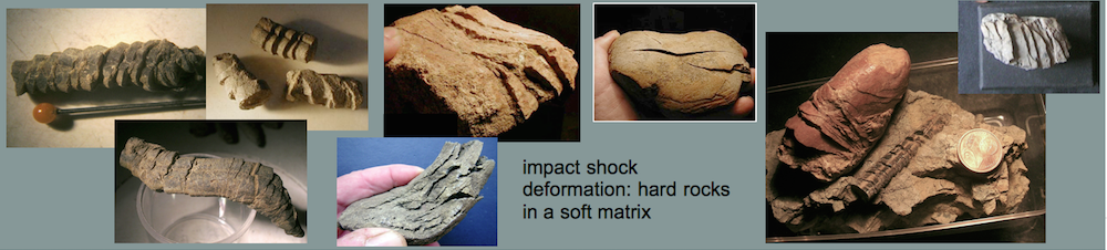
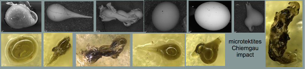
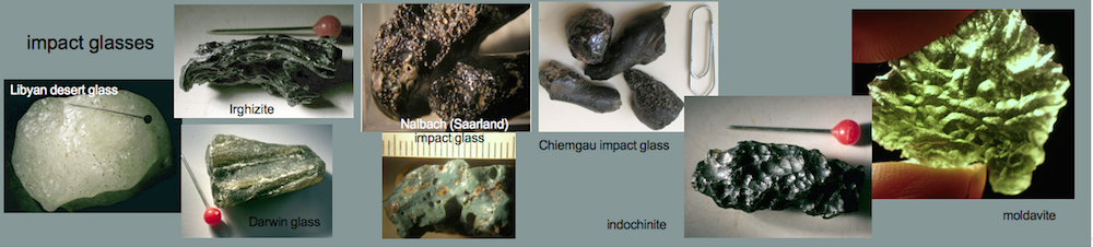
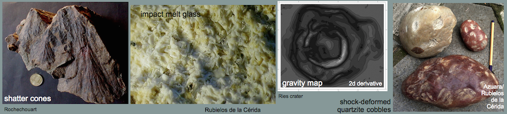
2 The Chiemgau meteorite impact event
3 Data processing
3.1 Terrain imagery
3.2 Horizontal gradient
3.3 Data filtering
3.4 Cross sections
4 Examples
4.1 Small craters in the DTM
4.2 Peripheral depressions around small craters
4.3 Medium-sized craters in the DTM
4.4 Mistaken structures
5 A possible large-sized crater in the DTM
6 Discussion and conclusions
7 References
Appendix

The full article can be downloaded HERE
Origin of DTM material: Geobasisdaten Bayerische Vermessungsverwaltung